
North Pennine LIDAR Image Downloads Surveyed in 2019.
2019 Surveyed Lidar Data (1M DSM)
|
Block 1 of 2: Wearside 2019 Lidar Data 1M DSM 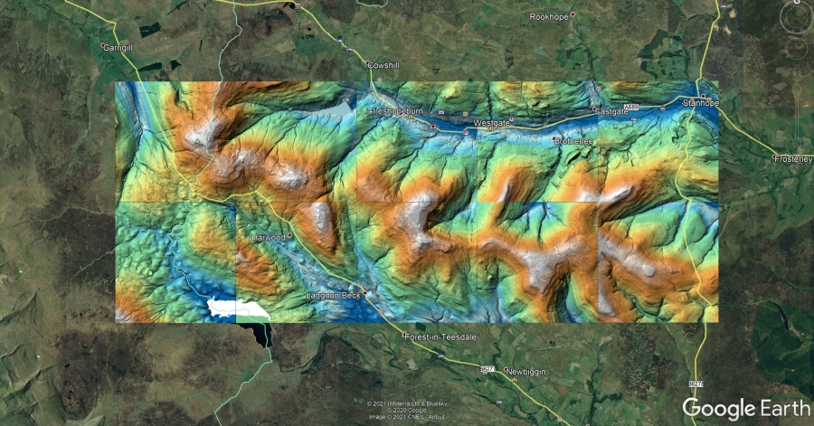 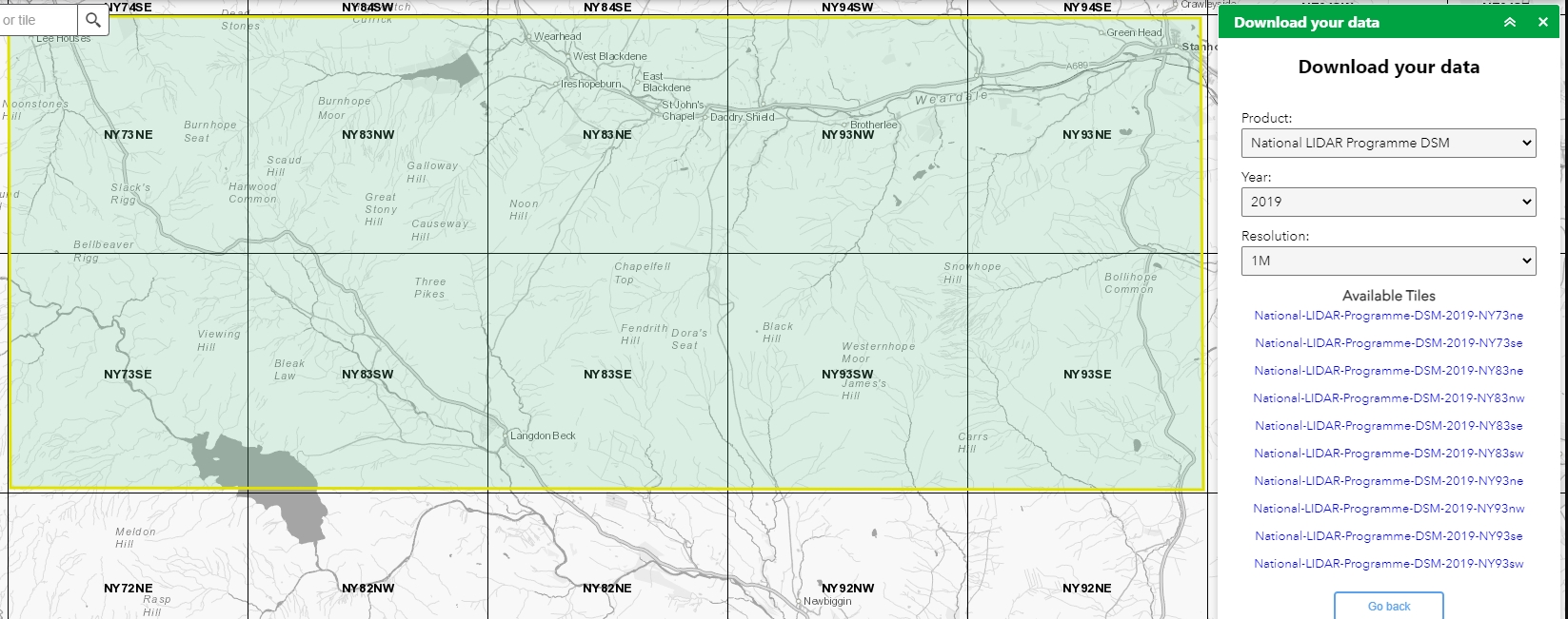 Each of the 5 x 5 km grids can be downloaded using the links below. The images are georeferenced .tif images (around 72MB). Zoom into each image and pan around. This processed data is copyright Stephen Eastmead, Altogether Archaeology. Images are free to use providing they are correctly acknowledged when published or displayed.
|
|||||||||||||||||||||||||||||||
|
|
|||||||||||||||||||||||||||||||
| Block 2 of 2: Vertical block 10km by 25km from Central Teesdale to Northern Swaledale 2019 Lidar Data 1M DSM | |||||||||||||||||||||||||||||||
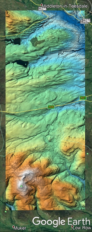 |
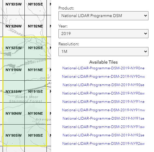 This processed data is copyright Stephen Eastmead, Altogether Archaeology. Images are free to use providing they are correctly acknowledged when published or displayed. Download links below: The images are georeferenced .tif images (around 72MB). |
||||||||||||||||||||||||||||||
|
|||||||||||||||||||||||||||||||