
| 2019 Lidar data for South Tyneside and a little of the north bank |
| All primary
Lidar data is available under the Open Government Licence
v3.0, except where otherwise stated. This processed data is copyright: Stephen Eastmead, Altogether Archaeology. Lidar images are free to download and use providing they are correctly acknowledged when published or displayed. |
|
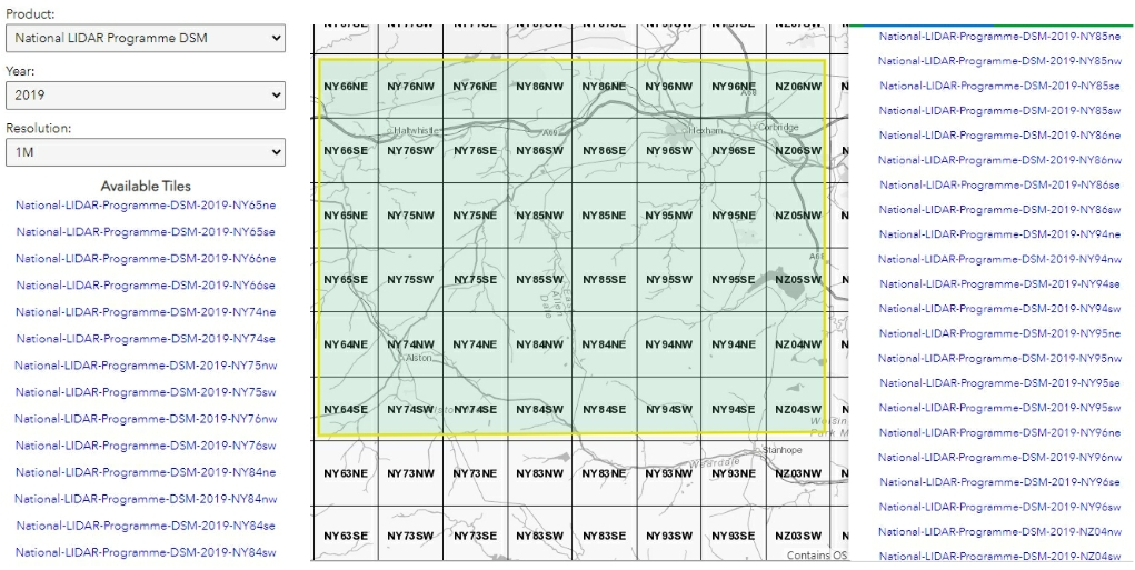
Lidar download are georeferenced Tiff images which can be imported into applications like QGIS or Google Earth. If your software cannot display tiff images this free application will https://www.irfanview.com/ |
||||||||||||||||||||||||||||||||||||||||||||||||
 |
||||||||||||||||||||||||||||||||||||||||||||||||
| Of the 48 5km x 5km grids only 36 has 2019 lidar data. | ||||||||||||||||||||||||||||||||||||||||||||||||
|
||||||||||||||||||||||||||||||||||||||||||||||||
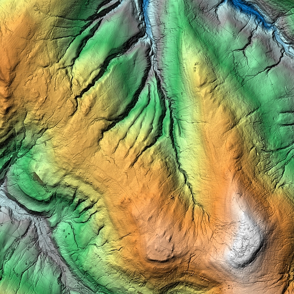
| Low resolution example of one of the Lidar image. Each download Tiff file is 73.243MB | ||||||||||||||||||||||||||||||||||||||||||||||||
 |