DIY Maps, LIDAR and 3-D Modelling
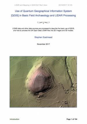
Most AA members will know Stephen Eastmead as the technical wizard who produces splendid pole camera images, LIDAR maps and 3-D models of Altogether Archaeology fieldwork sites and many other places of interest. Stephen has recently decided to share some of his extensive expertise in this field by writing a guide for people who want to learn how to record archaeology using a free to download geographical information system (QGIS). The guide contains step-by-step instructions which enable the user to obtain and process their own maps, LIDAR data and GPS waypoint or track data. It also contains an introduction to the art of using data to create 3-D models using SketchFab.
The guide has been tested by fellow AA member Sue Goldsborough who also helped Stephen with some of the editing. If you are interested in producing your own maps, LIDAR images and models then this publication is an absolute must. Stephen said that he decided to publish the guide because:
“Over the last few years as LIDAR data and software to process it became available, I found it quite difficult to find sufficiently detailed information to get me started. I am hoping this guide will help those who want to learn these skills. The QGIS knowledge gained can be used to process other archaeology data not just LIDAR. It will be interesting to see how useful other community archaeology groups find this document.”
The guide - Use of Geographical Information System (QGIS) in Basic Field Archaeology and LIDAR Processing - is available now as a PDF download. In return for downloading a copy Stephen is asking that a donation be made to Altogether Archaeology’s research fund which supports future fieldwork by the group in the North Pennines. Details of how to download the guide and make a donation can be found by following this link:
QGIS Guide
The AA Management Committee is extremely grateful to Stephen for gifting these donations to the group. Stephen is launching his publication at a CBA Yorkshire conference in York on Saturday 4th November where he is leading a workshop on this subject. With typical generosity he is also donating his speaker’s fee to our research fund.
Thank you Stephen!
|
 |
 |
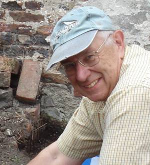
| Stephen Eastmead |
Guide now available |
| Click Images to Enlarge |
 |
 |
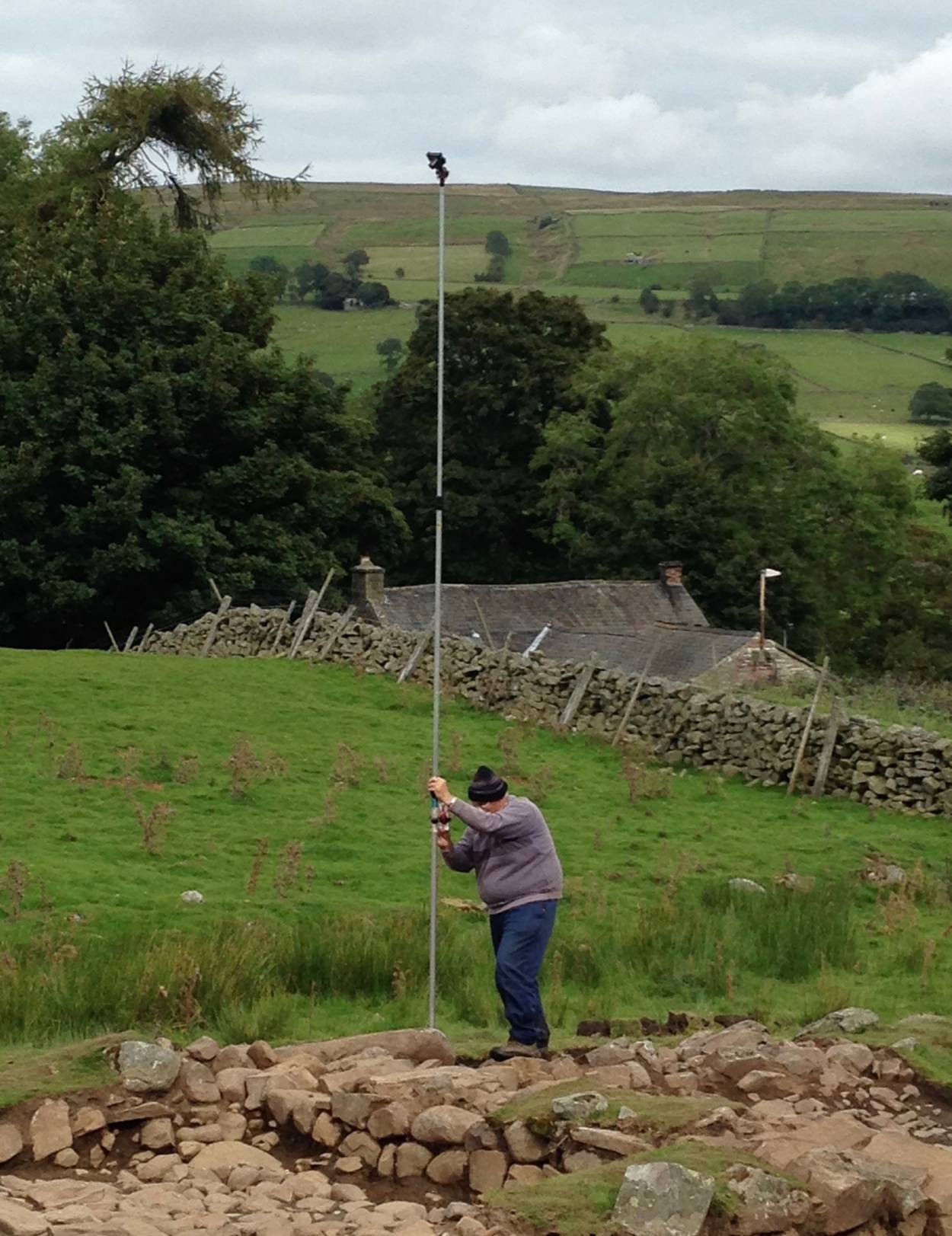
| Stephen using a pole camera at Holwick |
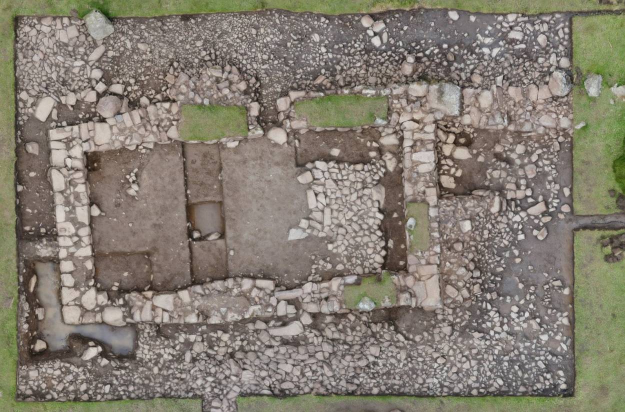
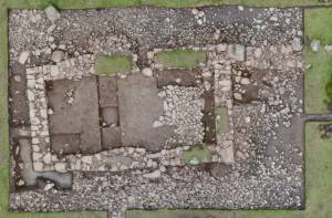
Composite image of Trench 1 at Holwick using multiple pole camera shots |
| News Record: 34 Updated: 02-11-2017 18:30:46 |
|